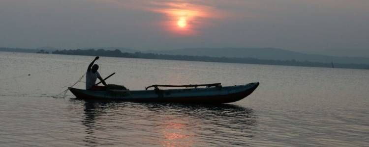
The Adam’s bridge national park of Sri Lanka surrounds the Sri Lankan section of the Adam’s bridge, situated about 30 kilometers north west of the Mannar town. It was designated a national park on 2015 by the Strategic environmental assessment of the northern province conducted by the government with the assistance of the United Nations Development program and the United Nations Environmental program.
Geography & History of Adam's Bridge Marine National Park
The Adam’s Bridge is a chain of limestone shoals between Pambalm island of India and the Mannar island of Sri Lanka. According to geological evidence, the bridge formerly was a land connection between the two countries, passable by foot in 15th century, until storms deepened the channels. Temple records even suggests that the Adam’s bride was completely above sea level before a cyclone in 1480. The bridge is 30 km long and separates the Palk straight and the Gulf of Mannar. The sea areas between the sand dunes are very shallow, between 1 to 10 meters deep.
The bridge has a long history dating back to the Ramayana, which names it as the Ram Setu, or Rama’s bridge. It says that the Rama Sethu was the bridge built by Vanara army of Rama to rescue Seetha from Ravana.
What to see in Adam's Bridge
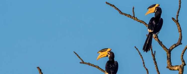
The park lies on the route of migratory birds that visit Sri Lanka. The sand dunes of the Adam’s bride also serve as breading grounds to some of those birds, such as the brown noddy. The shallow waters of the sand dunes host a variety of fish and aquatic grasses. Dolphins, Dugongs and Turtles can be seen in the sea surrounding the park.